| |
"Two roads diverged in a wood, and I -- I took the one less traveled by" Robert Frost
"But there's nothin’ out there," said the red-haired waitress. We were at the Brass Rail, a Basque Restaurant in Alturas, California. |
|
| |
|
|
| |
"Are you sure that road is paved? Fill your gas tank, and take water and food," she fretted. "I've heard there aren't any towns or even service stations along the way." |
|
| |
|
|
| |
That's what we were looking for -- a rare road trip without urban sprawl, strip development, chain stores, or traffic jams. But would this be a total bore? Our journey on Highway 299 from Cedarville, California, to Carson City, Nevada was about to begin. For a trip through a stretch of country with "nothin' out there", there was so much of interest that we decided to divide this story into two parts. (Part 1 will take us as far as Gerlach, Nevada.)
There's a remote, forgotten corner of northeastern California, at the foot of the Warner Mountains.
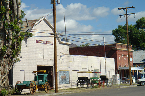
Here, you'll find the Surprise Valley, and Cedarville (population 849). |
|
| |
|
|
| |
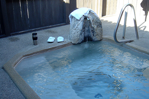
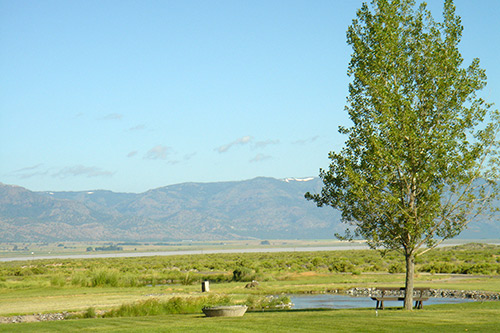
Five miles to the east is the Surprise Valley Hot Springs Resort, featuring a private, spring-fed hot tub for each guestroom. |
|
| |
|
|
| |
Warm water fishing is available here. Surprisingly, there 27 types of warm-water fish, including bass, perch, and catfish. |
|
| |
|
|
| |
This is as remote a spot as one can imagine, and thus popular with celebrities seeking solitude. (Most don't use their real names, according to the owner.) |
|
| |
|
|
| |
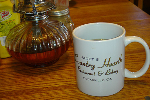
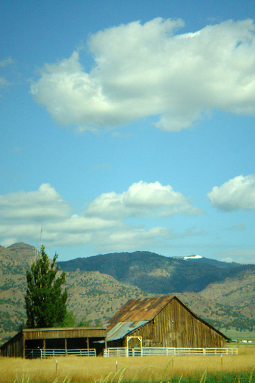
The next morning, back in Cedarville, we breakfasted at the Country Hearth Restaurant and Bakery. |
|
| |
|
|
| |
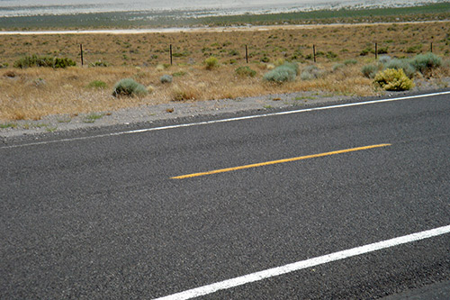
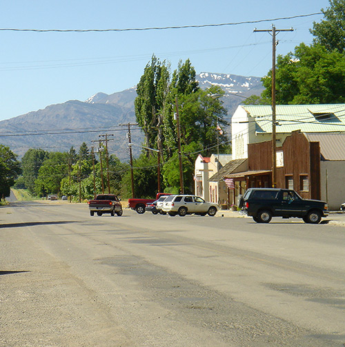
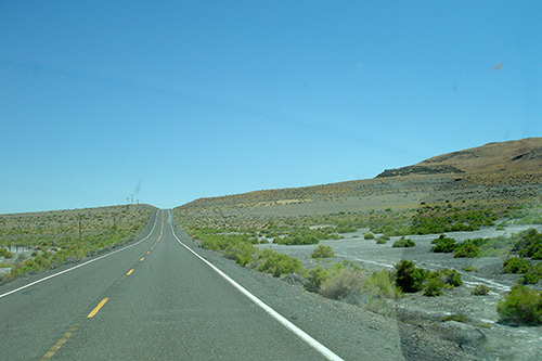
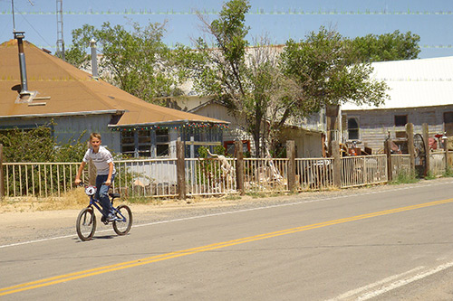
Then we negotiated the morning commuter traffic conditions, shown here, to begin our journey towards Nevada. |
|
| |
|
|
| |
Outside of town, a large, old-fashioned cemetery appears to contain far more late citizens than the current population.
Sixteen miles south, a post office was established in 1868 at the town of Eagleville, (population 59). This is the last outpost of civilization, except for some secluded ranches along the way, to a town 68 miles from here. |
|
| |
|
|
| |
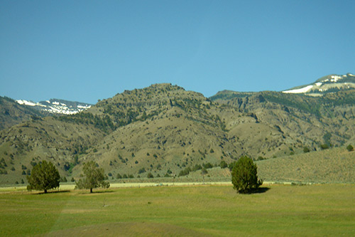
The Surprise Valley, according to tradition, was named by early settlers arriving from the high desert country to the east. Suddenly, they found themselves in a fertile green valley at the foot of snow-capped mountains. (Somebody must have said, "What a surprise!") |
|
| |
|
|
| |
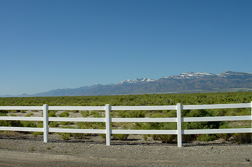
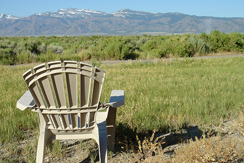
The name of the highway changes to Washoe County Route 447 as we cross into Nevada. High mountains surround this dry desert area. Distances are misleading; there is no scale of human structures to measure things by. A mountain appears to be covered with sagebrush. But, with binoculars, they become large juniper trees. |
|
| |
|
|
| |
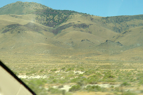
This is huge country where humans can begin to feel insignificant; even miniaturized. Once it was covered by huge prehistoric Lake Lahotan. The ancient shoreline appears as a faint horizontal line about halfway up the photo below. |
|
| |
|
|
| |
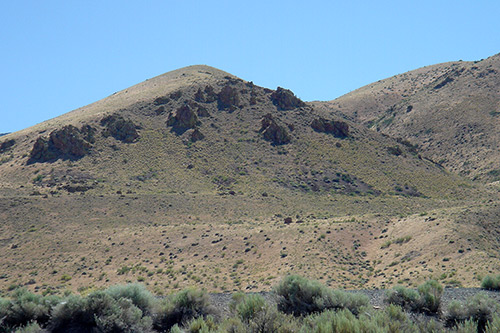
The empty landscape starts to take on a surreal atmosphere. Occasionally unmarked dirt roads turn off, winding away for
miles towards invisible destinations.
One such road points east towards a former Wilderness Study Area involving Mount Limbo, adjoining Mount Purgatory. The dusty road climbs up the mountain to a plateau, miles away. One feels that turning off onto it might involve a one-way journey into the Twilight Zone!
The empty road goes on and on. |
|
| |
|
|
| |
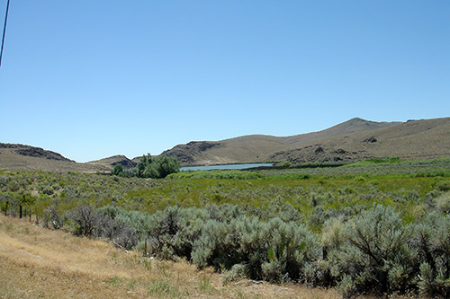
An unexpected desert oasis refreshes the traveler's eyes. |
|
| |
|
|
| |
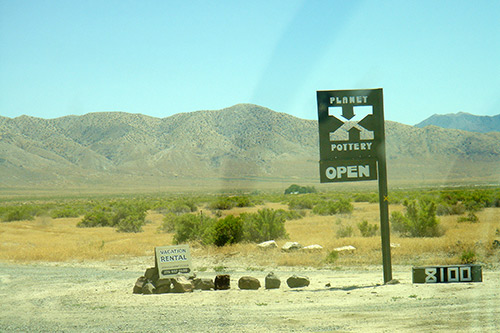
Parking under a rare shade tree, we eat our picnic lunch and leave the motor running. Seeing only a few other vehicles per hour, we don't want to take any chance of being stranded. A sign (the first we've seen in miles" announces "Planet X Pottery, Open". A dirt road disappears behind a grove of trees. We elect not to investigate.
|
|
| |
|
|
| |
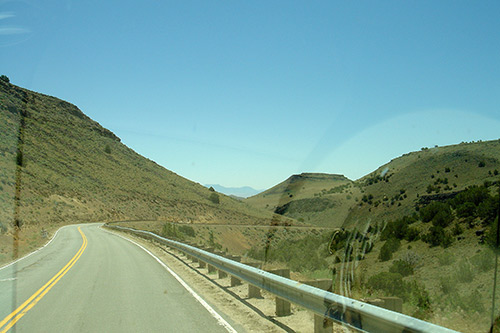
Now the road is heading in a more easterly direction. |
|
| |
|
|
| |
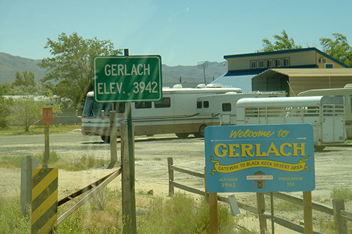
We have finally reached a town called Gerlach, Nevada (population 106). |
|
| |
|
|
| |
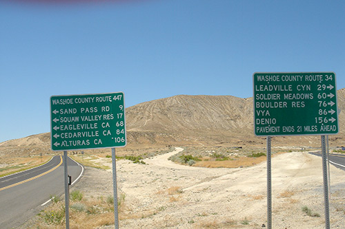
At its western edge is the road's first intersection with another highway. It displays these signs, proving that we are pretty much in the middle of nowhere. |
|
| |
|
|
| |
Where the unmarked dirt road in the middle leads is a mystery. Gerlach, elevation 3942 feet, and surrounded by high mountains, bills itself as the "Gateway to Black Rock Desert Area" and, unlikely as it seems, "Fastest Town on Earth". |
|
| |
|
|
| |
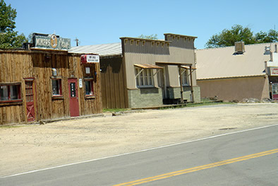
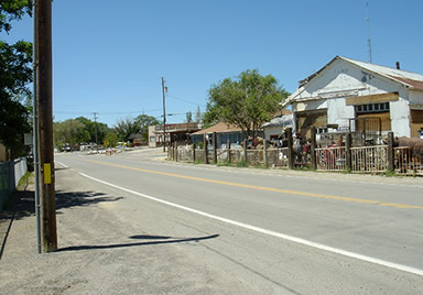
It is actually a sparsely-populated ghost town -- not the sort of town where you will find a service station, traffic lights, or a grocery store. But, proving that it is indeed inhabited, a little local traffic appears. |
|
| |
|
|
| |
(Our exploration of Gerlach, and then Pyramid Lake, will be in the next issue.) |
|
| |
|
|
|
|
|