The Rogue River is a magical river, one that emerges from a watery tangle of moss-covered rocks and fallen trees at an elevation of 5,600 feet in Southern Oregon's Cascades. It begins as a spring, bursting like a perennially discharging hydrant seemingly out of nowhere into a brawling stream. Its birthplace is Boundary Springs in a scrawny forest of water hungry mountain hemlocks, lodgepole pines and firs.
The Rogue is a legendary river, known for its abundant salmon, remote whitewater canyons and miles easily accessed by recreationalists. Its uniqueness was recognized in 1968 when it was one of the first eight rivers designated under the 1968 Wild and Scenic River Act.
From its genesis at Boundary Springs, named because it sits just inside the
western boundary of Crater Lake National Park, the Rogue cuts, carves and curls
215 miles to the Pacific Ocean at Gold Beach. For generations the Rogue has
been a source of fascination.
 |
 |
 |
|
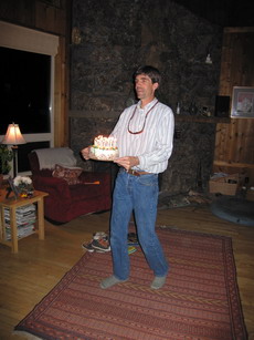
In the Fishing Lab
|
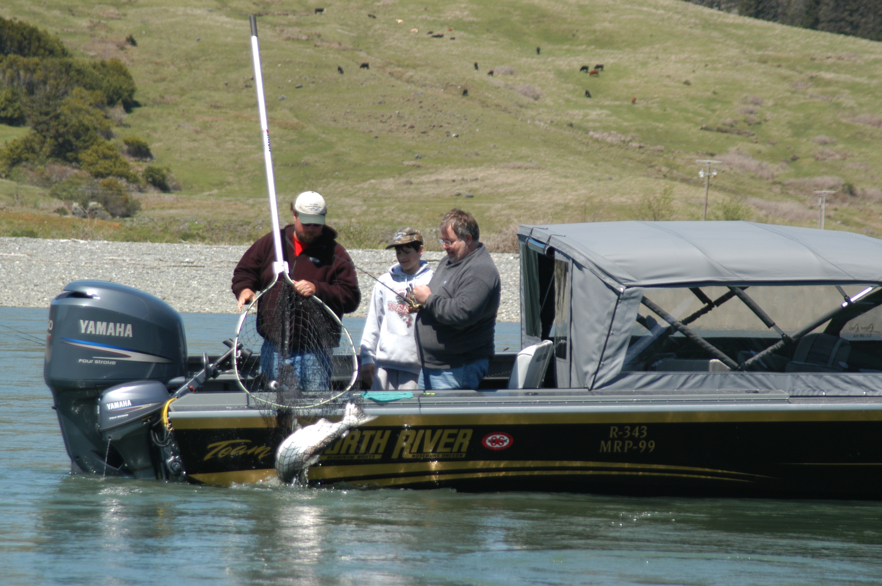
Pulling in a big one
|
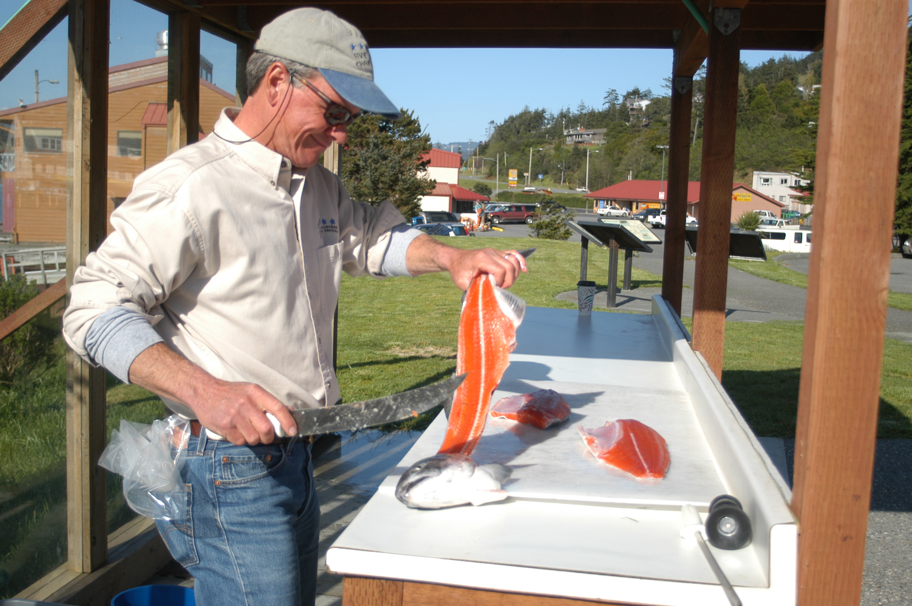
Filleting the day's catch
|
My fascination began as a young boy. After a vacation, my mother returned with tales about the beautiful Rogue - and a small painting an artist created on a piece of cardboard. That painting, which showed a river splashing through a verdant forest setting, enchanted me and whetted my desire to see and explore this mystic river. Over the years I've paddled a whitewater canoe through the remote 43-mile long wilderness section, rafted through Hellgate Canyon with my own children, sea kayaked and sport fished between Agness and Gold Beach, and backpacked the 48-mile long Upper Rogue River Trail from Boundary Springs to Prospect.
The Rogue has distinct regions. From Boundary Springs it tumbles southwest through what geologists term incised pumice canyons created by Mount Mazama's climatic eruptions 7,700 years ago. Although many assume the springs are from Crater Lake, the lake created after Mazama's demise, geologists say the Rogue's headwaters are fed by drainage from rain and melting snow, not the lake.
South of Shady Cove, 3,700 feet below its headwaters, the river irrigates the
fertile Rogue Valley. It slices past Eagle Point then bends west alongside Interstate
5 as it passes the cities of Gold Hill, so named because gold was found there
in 1852, Rogue River and Grants Pass. The interstate goes north, but the Rogue
continues west, flanked by country roads, hamlets and narrowing canyons until
Grave Creek, where the only routes are the hiking trail and the river.
It emerges from its blustery 43-mile long wilderness stretch near the village
of Agness. Then, except for occasional winter floods, it gently lullabies 32
miles to Gold Beach and its outlet into the Pacific.
The Rogue is a valuable resource, with more than 1,300 miles of fish spawning streams in its 5,608 square miles watershed. The river is home to cutthroat and rainbow trout, steelhead, and coho and Chinook salmon. The fish lure ospreys - sometimes called sea eagles or fish hawks - and bald and golden eagles.
The river's bounty has influenced human history, one that includes American
Indians and trappers. Jeff LeLande, a Forest Service archeologist and historian,
says the river was named for a group of "troublesome" or "rascally"
Indians dubbed the "Les Coquins," or the Rogues, by French adventurers.
The river was named "La Riviere aux Coquins," or the Rogues River.
LaLande says Indians had favored fishing holes and built villages where major
tributaries feed the Rogue. Historical accounts indicate the first non-Indians
to see the Rogue were members of a party of adventurers led by Peter Skeen Ogden
February 14, 1827. Odgen wrote in his journal of finding "a large River
in size equal to the Willamette … This is certainly a fine looking Stream
well wooded with Poplar Aspine and Willows and from the depth it must either
be well supplied with tributary Streams or its rise must be far distant."
* * *
It's a 2-mile hike from the Crater Rim Viewpoint to Boundary Springs. To reach
the trailhead, drive 18 miles north of Union Creek along Highway 230. Follow
the Upper Rogue River Trail southwest about a half-mile to a well-marked junction
with the Boundary Springs Trail, which reaches the springs in 1-1/2 miles. The
trail follows the west side of the river, which re-cut its way through pumice
deposited by Mazama's eruptions. South of the springs the forest is thick with
ponderosa pine, mountain hemlock and Shasta red fir. Over the centuries dead
trees have tumbled into the river, where they've gathered moss and eroded enough
to serve as beds for brilliantly colored monkey flowers and other seasonal wildflowers.
The only sounds are those of the river rippling over downed logs and rocks,
and of Clark's nutcrackers and other birds.
LaLande says geologists believe melting snow at higher elevations soaks into
the porous pumice soil and filters into underground passages that eventually
merge and "meet daylight" at the springs. After the hike, drive to
Union Creek, a village with Forest Service campgrounds, interpretive sites,
hiking trails, rental cabins and Beckie's, where I always stop for a piece of
huckleberry pie topped, of course, with ice cream. Two worthy Union Creek attractions
include the Natural Bridge, where the Rogue drops into a maze of basalt lava
tubes before reemerging 200 yards downstream, and the Rogue Gorge, a 500-foot
long chasm where the river narrows to 25 feet and drops 45 feet through a series
of mini-waterfalls.
* * *
 |
 |
 |
|
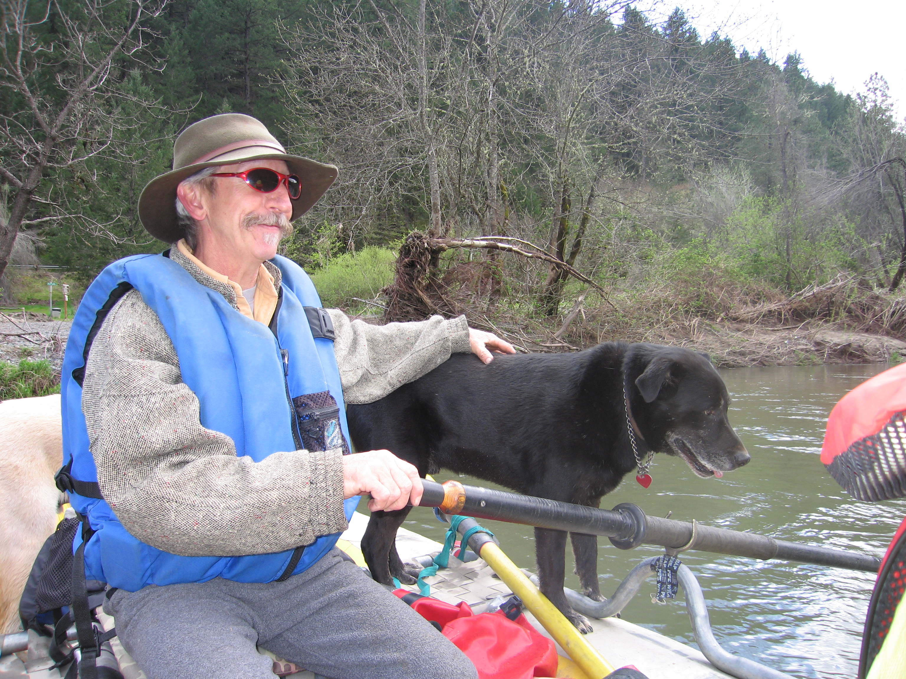
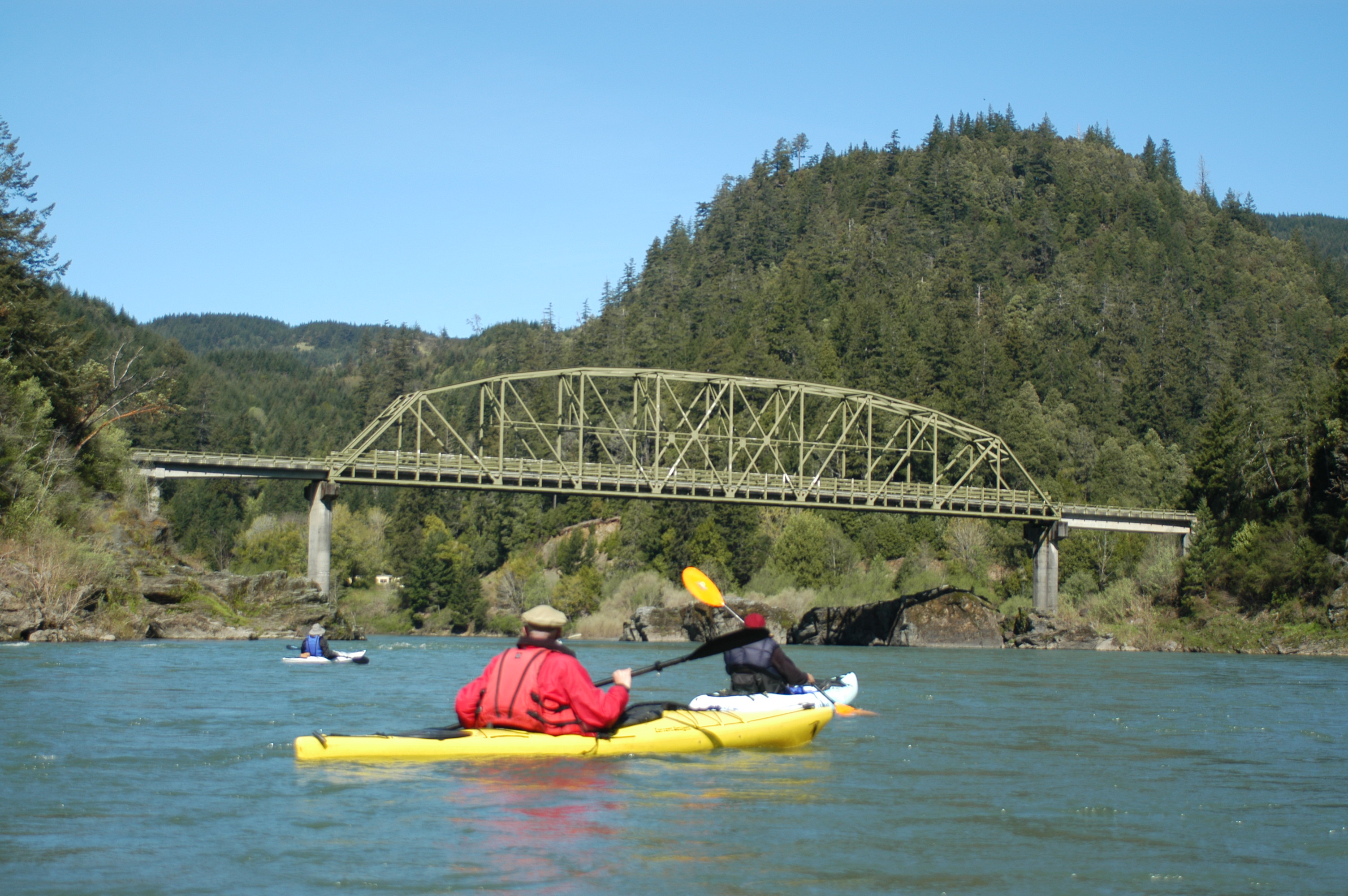
Kayaking the Rogue near the Rooster Creek Bridge
|
Fun with Feron
|
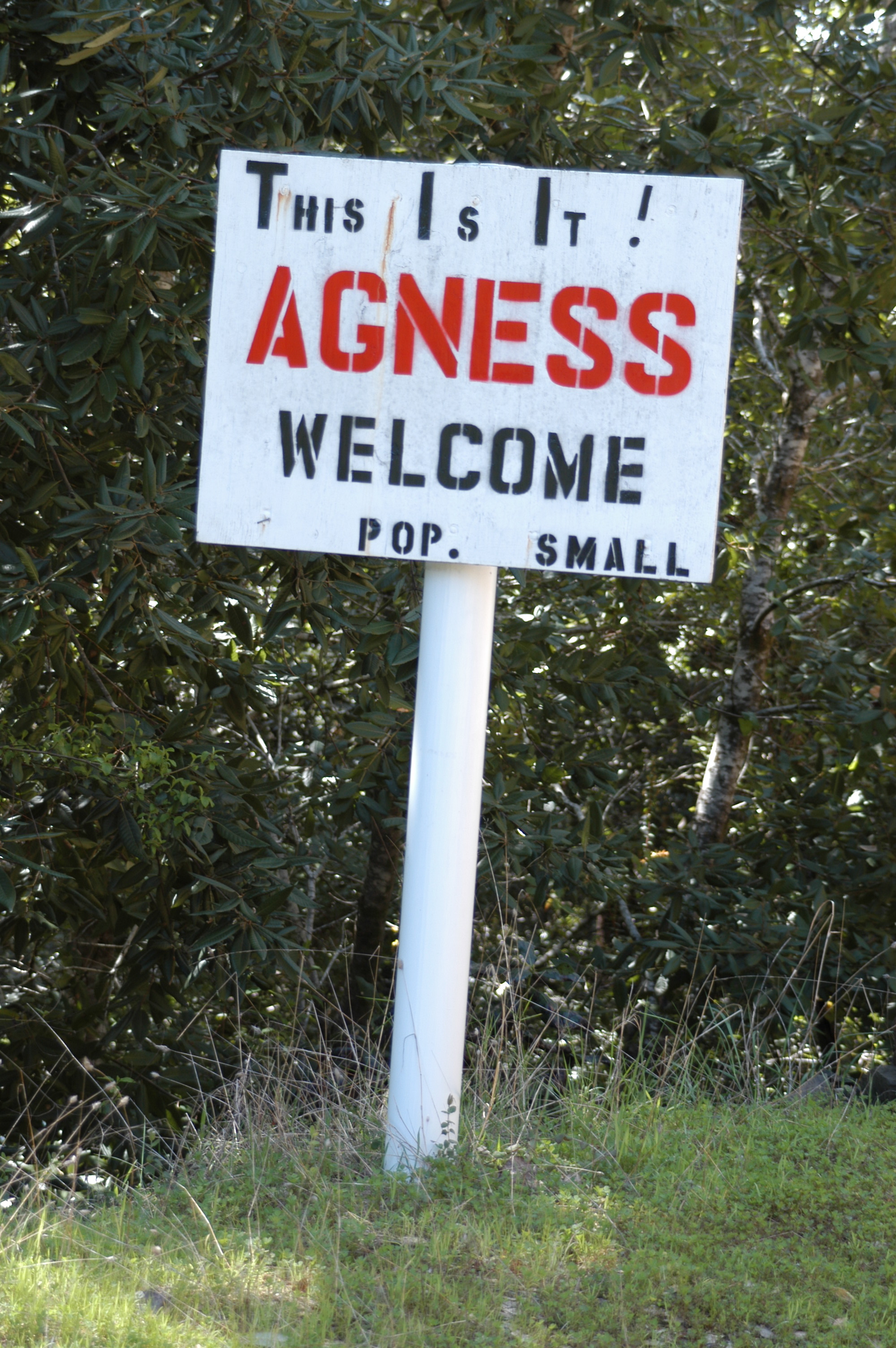
Welcome to Agness
|
The wind was howling, rain fell like shattered glass and it was so cold we needed
layers of clothing. We rafted from Hellgate Canyon to Grave Creek with river
guide Ferron Mayfield and his dog Junior, and the scenery was beautiful. Hog
Creek is 20 miles northwest of Grants Pass, a city of 26,000 residents and the
largest city along the Rogue. Between Gold Hill and Grave Creek the Rogue receives
its heaviest use, from fishermen in drift boats to frolicking kids in rubber
rafts to gawking tourists in jet boats. In Riverside Park is a bust of Glen
Wooldridge, a legendary river guide who helped publicize and popularize the
Rogue.
With humor and stories, Ferron helped us appreciate what has enchanted generations of river lovers who preceded and followed Wooldridge. Our second "guide" was a great blue heron that flew just ahead of the raft, sometimes cruising overhead, gliding close enough for us to appreciate his gentle beauty, or posing on riverside rocks. We saw osprey, some gliding on thermals high above, others sitting atop tree perches. One laboring "fishhawk" laboriously carried a fish gripped in its talons. There were bald eagles, mergansers, green herons, mallards, swallows and, more ominously, turkey vultures that circled overhead as if waiting for one of us to tumble overboard.
Ferron regaled us with stories about the river, early Indians, gold miners, his dogs, and movies filmed along the river. He told us about migrating Canada geese that, he said, get so fat on the abundant feed they can't resume their migrations and, instead, become resident geese. Ferron chatted about Kevin Bacon and Meryl Streep, who co-starred in "The River Wild," a 1994 movie partly filmed along Hellgate Canyon, and the Animal Planet network "K-9 to 5" episode that featured Junior. The Rogue has been the backdrop many movies, including "Dead Man," with Johnny Depp, and "Rooster Cogburn," the 1974 feature that starred John Wayne and Katherine Hepburn.
It's 14 mostly gentle miles - with nothing more than riffles and class 2 rapids - from Hog Creek to Grave Creek, the starting point for the Rogue's wilderness section. I've taken several multi-day trips through the stretch with a small armada of whitewater canoes, kayaks and rafts. The section is the stuff of legend, with dangerous class 4 and 5 rapids like Rainie Falls, Upper Black Bar, Mule Creek Canyon and Blossom Bar.
* * *
Mark Lotus was ready to give up. "Let's pull anchor and try another spot
and see …" Before he could finish, one of fishing poles on the boat's
back railing suddenly bent and twisted madly. A fish was on. A friend tossed
aside her half-sipped cup of coffee, grabbed the pole and began reeling. Mark
disconnected from the anchor that was attached to a marking buoy, which allowed
the boat to begin floating back downstream in the Rogue's stiff current. She
was really reeling.
"I lost it," she mourned as the line slackened. "Keep reeling," Mark commanded. She did, and again the pole danced. As she reeled, the boat kept moving 50, then 100 yards downstream from where we had been anchored. Mark used a small motor to direct the boat as the unseen fish zigzagged across the river. Suddenly it flew out of the water. She kept reeling, gradually moving the salmon, a native Chinook, toward the boat. "Can I do it? Am I strong enough to do it?" she said while cranking the reel for more than 10 minutes.
She could. After several more aerial displays, Mark netted the pooped salmon
and landed it in the boat. It weighed nearly 15 pounds, and later was filleted
and bagged into six chunky steaks. Because of its size, Mark estimated it had
been at sea three years. Larger salmon - we saw another fisherman tug in a 25-pounder
- stay in the ocean four years before returning to swim to upstream spawning
areas. Year-around fishing is one of the lower Rogue's attractions. Depending
on the time of year and weather, commercial and private sport fishing boats
test their skills in the harbor at Gold Beach, or at favored spots up to 20
miles upriver. Mark, who operates Five Star Charters with his sons from Gold
Beach, uses cell phones to contact guides for reports on hot spots. Despite
limits on fishing in the Pacific, Mark said fishing remains strong on the Rogue.
Earlier that day, I traveled a 10-mile stretch of the Rogue another way, in
a recreational sit-on top kayak. Jim Coffee, whose kayaking group is called
the Lunartics because of their full-moon paddles, gathered friends for a flat-water
tour from Quosatana, about 17 miles east of Gold Beach, to Huntley Bar. We sat
back and enjoyed the water-level view as the current sped us downstream. Ducks
and geese zipped overhead like low-flying jets. Lanky egrets lifted languidly
into the air. A playful river otter displayed a repertoire of flips and spins.
Ospreys patrolled overhead, searching for fish. One created a cannonball-like
explosion when it crashed to the river in pursuit of lunch. We saw huge osprey
nests, which can be used for decades and weigh up to 1,000 pounds, in treetops
flanking the river. We glided underneath the Lobster Creek Bridge, passing boats
with sports fishermen. Too quickly, we reached the takeout spot.
The next morning, I inspected other sections of the Rogue while driving 32 miles east along the river to Agness. Its entrance sign proclaims, "This Is It, Agness, Welcome, Pop. Small." Agness is also the turn-around point for many of the jetboat rides launched from Gold Beach. Since 1895, boats have made the 64-mile roundtrip from Gold Beach to deliver mail to the remote community. Mail Boat Hydro Jets, offers a variety of 64-, 80-and 104-mile river trips from May through October. It's not uncommon for the company to send nine large boats twice a day. Interestingly, the boats began taking passengers within a year of launching the mail service. A second company, Jerry's Rogue Jets, offers a similar schedule.
One night, walking along the jetty that reaches into the Pacific, I saw rows
of sea lions and seals lining the harbor, a fish gauntlet for salmon. Sea lions
can eat 50 pounds of salmon a day. During the summer, boats likewise anchor
side-by-side hoping to catch enough to fill their freezers or, at least, a salmon
barbecue.
 |
 |
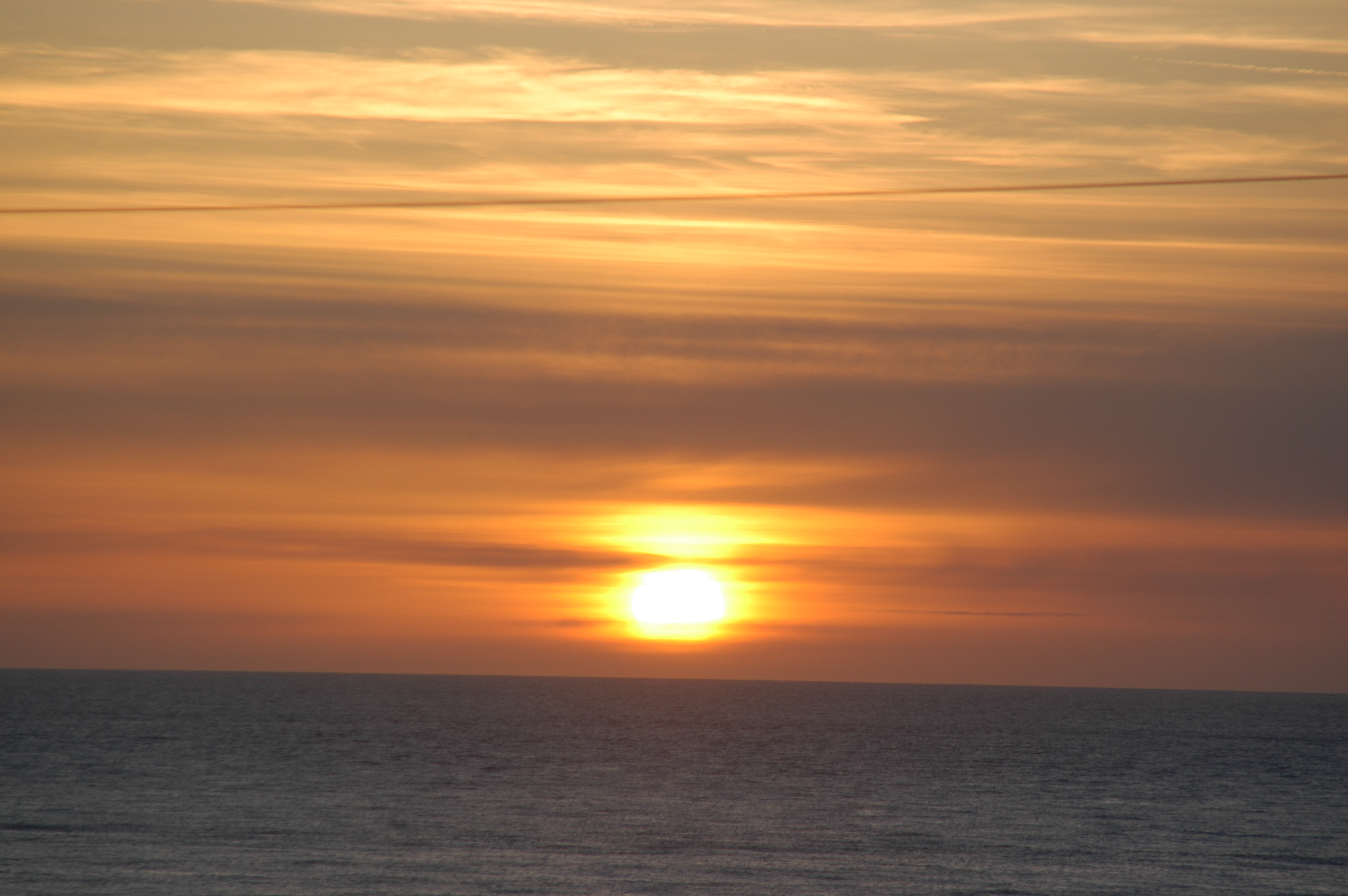 |
|
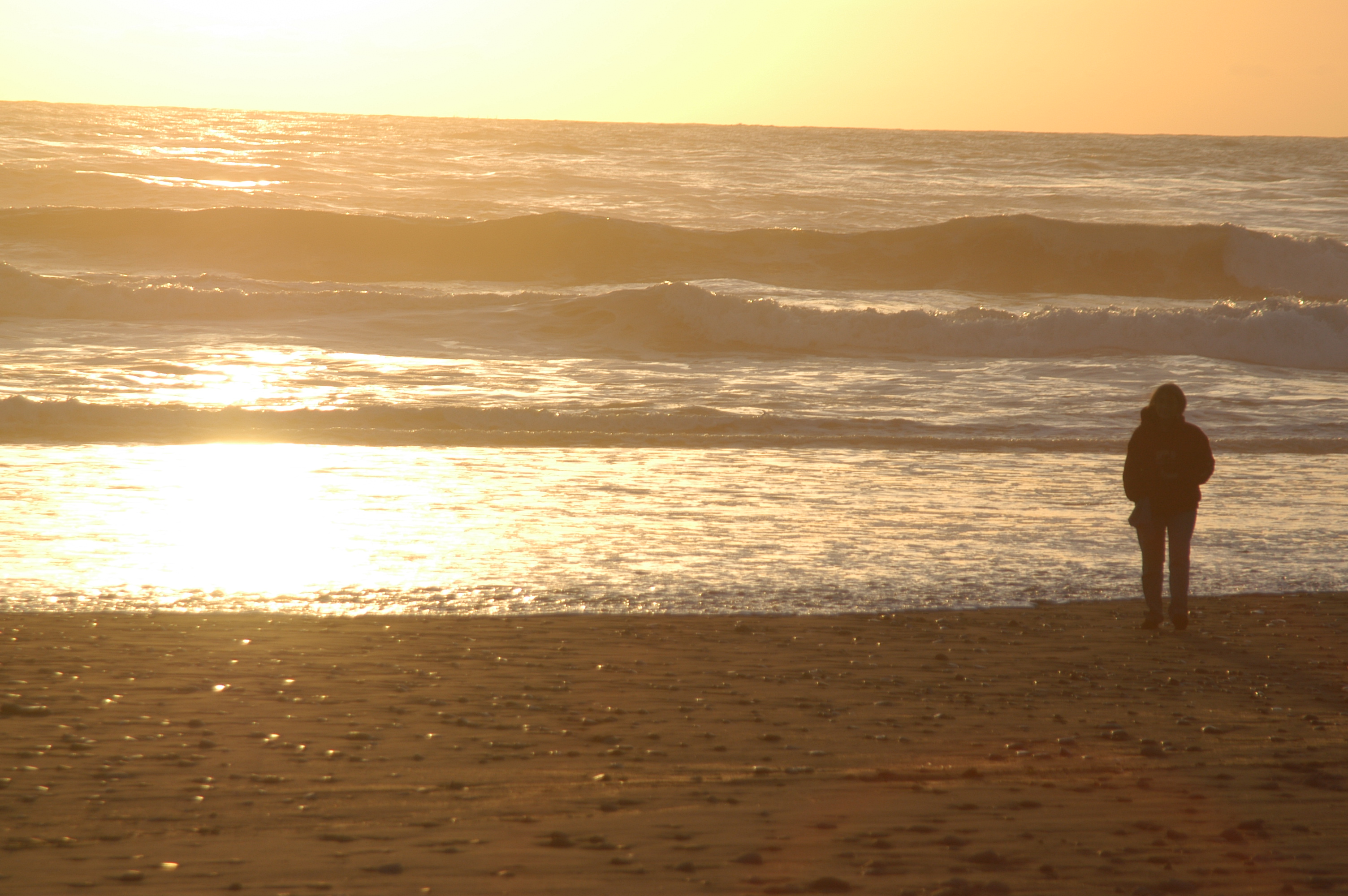
Sunset at Gold Beach
|
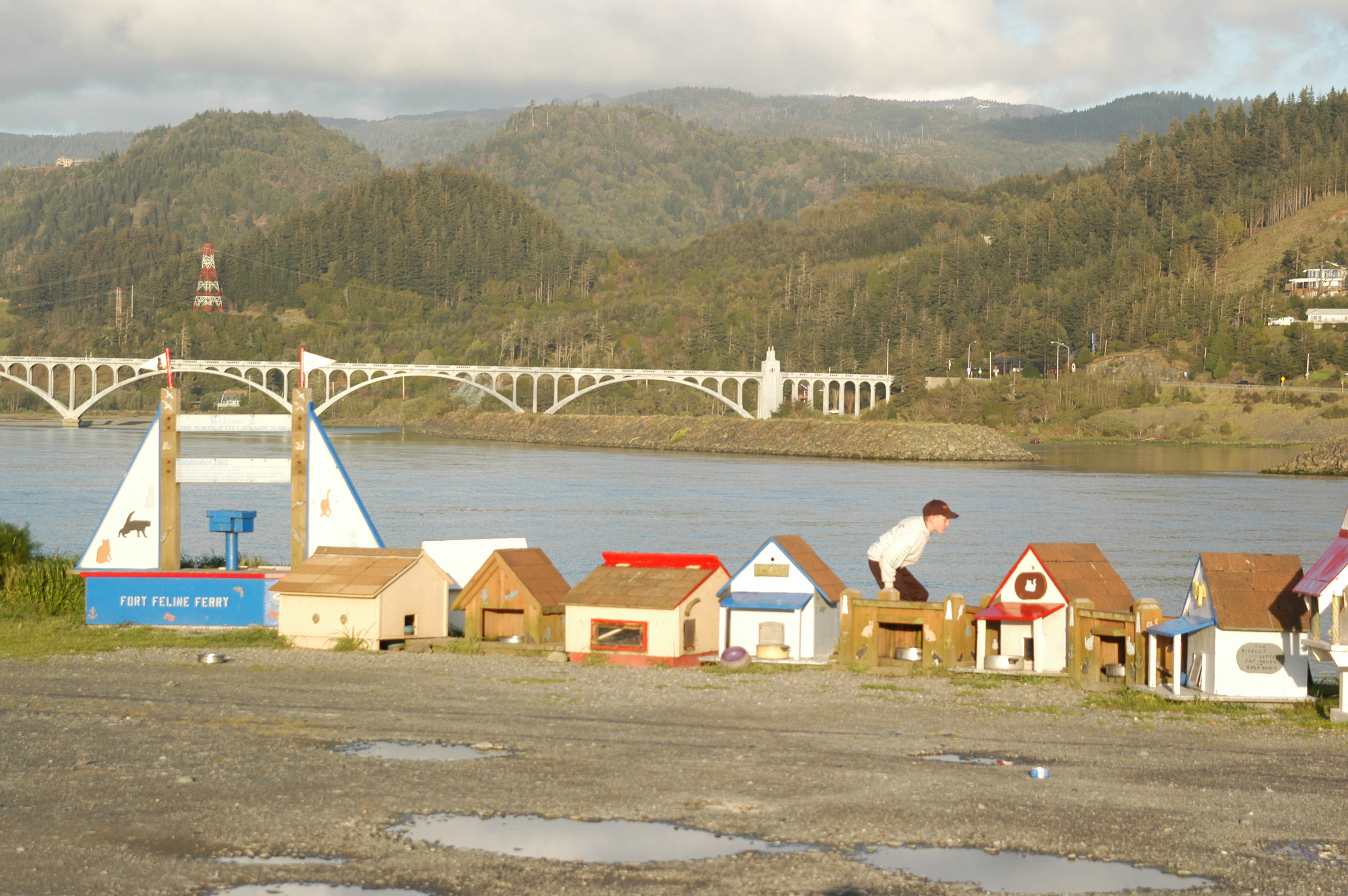
Fort Feline at Gold Beach
|
Where the Rogue meets the sea
|
On my final morning I bicycled through Gold Beach, down the South Bank Road to the Rooster Creek Bridge, where I rode to the North Band Road and back toward town. Sections of the rivers were lightly veiled in morning fog. I rode south along Highway 101 across the 1,932-foot long Patterson Bridge, a beautiful structure with seven graceful arches. Halfway across I stopped and gazed west to where the Rogue mixes with the ocean. But my focus turned east as I visualized the 215 of river miles between the bridge and Boundary Springs. I thought of wildwater rapids and osprey and Ferron and a suddenly emerging spring. And I silently thanked my mother for her stories and a painting that continue to inspire a rougish sense of curiosity and appreciation for Les Coquins, the Rogue River.
Northwest Rafting Company offers 2 trips per week down the lower Rogue and they do it with pride! Their web site is: http://www.nwrafting.com
* * *
Lee Juillerat lives in Klamath Falls, Oregon, and is a writer-photographer for
the Herald and News. He also has written two books about Crater Lake National
Park, contributed to writings and photographs to several other books, and writes
for several magazines, including Northwest Travel, Oregon Coast, Range, and
in-flight magazines for Alaska and Horizon Airlines. This story is adapted from
a story done for Horizon in 2006. He can be contacted at lee337@cvc.net